
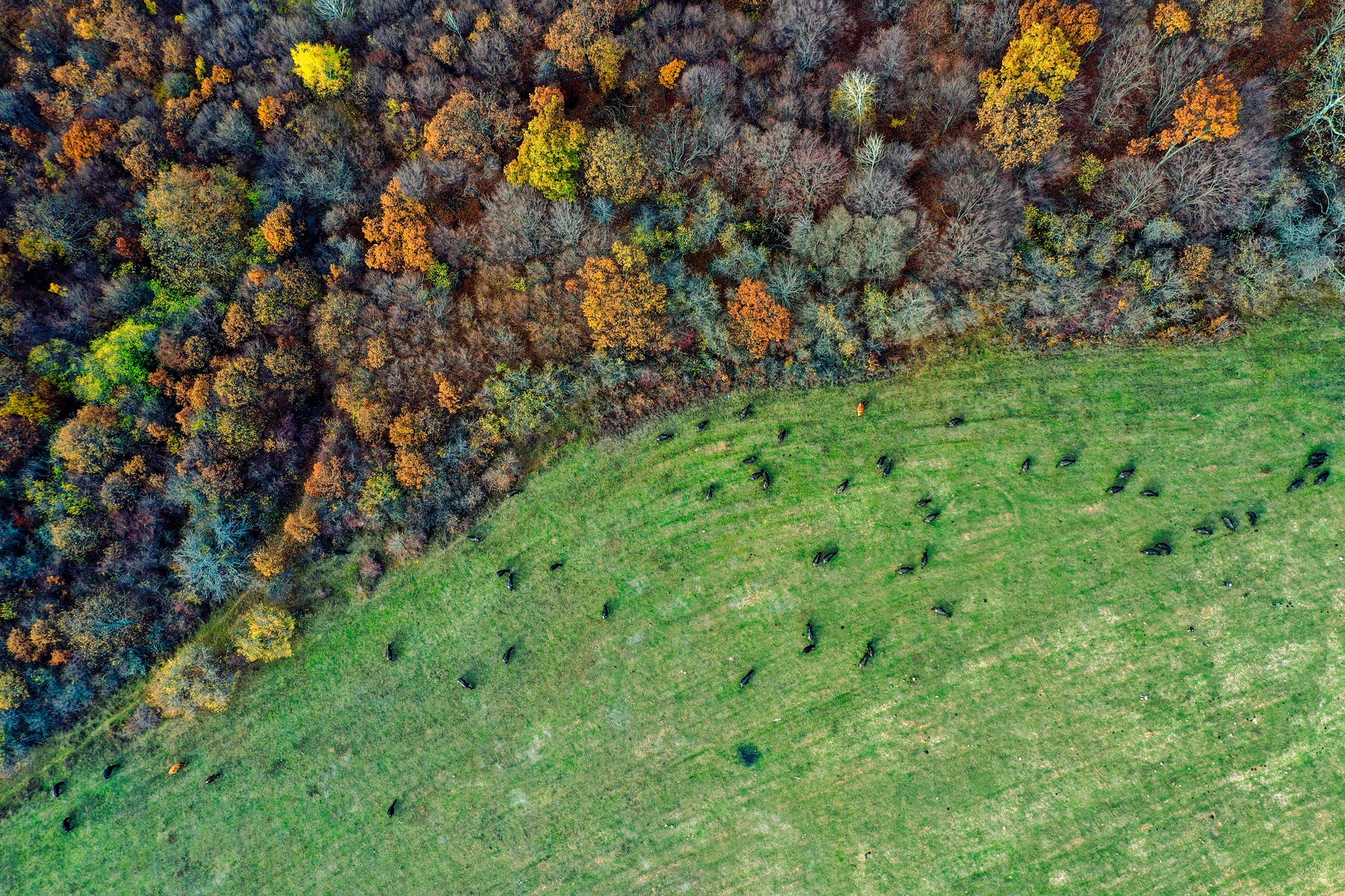
Click on the images below for a preview of HRIS Enhanced Forest Inventories (EFI) derived from accurate geolocated ground plots, a range of remote sensing data (LiDAR) and multi-spectral satellite imagery (81,500 hectares / 201,400 acres).
Click on the images below for a preview of HRIS Enhanced Forest Inventories (EFI) derived from accurate geolocated ground plots, a range of remote sensing data (LiDAR) and multi-spectral satellite imagery (81,500 hectares / 201,400 acres).


